|
Click at the end of the arrow* or on the label to open the corresponding PDF MAP |


Hayden Meadows Site—1:4000 |


|
The maps that are accessible from |
|
This VERSION: 9/1/2015 |


|
|
|
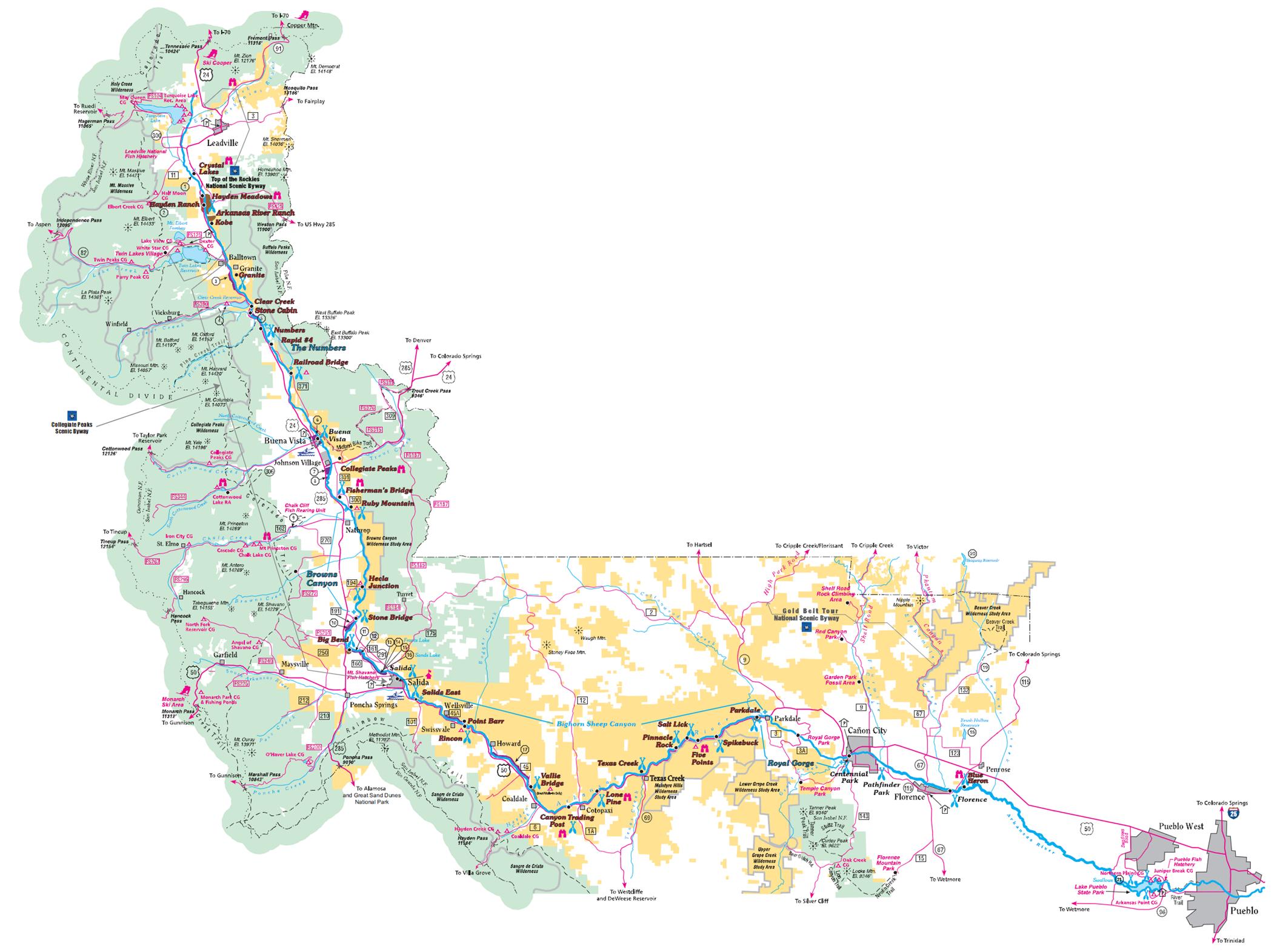
AHRA Cooperative Management Area & Land Ownership |


|
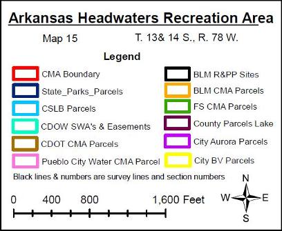
Acronym Key The Legend (above) appears on each of the maps accessible from this page. The acronym key is as follows: |

|
**Note: Both the ownership lines and labels identifying the type of agreement on that parcel of land are in the color corresponding to the ownership as displayed in the legend on each map. Similarly, leased recreation sites managed by the AHRA are labeled in the color of the ownership. Other general geographic labels are in black. Also note, that although much of the ownership line data was developed using the base layer National Agriculture Imagery Program (NAIP) aerial photography and the Bureau of Land Management — Geographic Coordinate Database (GCDB) of survey lines, some data provided by other entities was developed using other information and therefore does not exactly match with all data |