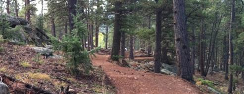
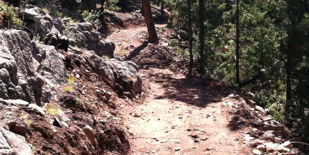
The only way to experience the park is by getting out on the trails. There are a variety of trails available to hike, bike or horseback ride. All trails are natural surface and vary in their degree of difficulty. Hikes range in length from a short 2 mile loop to a day hike exploring all the sites Staunton has to offer.
Seasonal Trail and Rock Climbing Closures
Closures are in affect March 15 until July 31, or upon further notice, to protect raptors.
Trail Closures & Conditions
- Lions Head loop
- Mason Creek-Upper .8 mile section betweent the two Bear Paw Junctions
For current trail condition information, visit the Staunton Facebook page.
Rock Climbing Closures- Lions Head
- Rough Neck Wall
Staunton State Park Trails
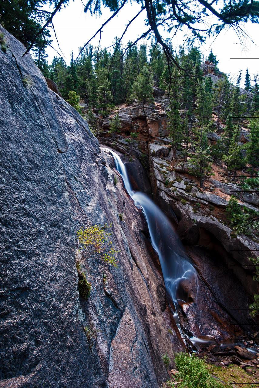
A visitor favorite is the hike to the Elk Falls waterfall. This hike is a 12-mile round-trip hike. The shortest route is Staunton Ranch (SR) to Bugling Elk (BE) to Chimney Rock (CR) to Elk Falls trail (EF).
The average hiker takes between 4-5 hours to complete the entire trip. The elevation change is around 1200 ft total.
The below list of trails includes details for the distance, degree of difficulty, elevation change and unique features of each trail segment. Each trail segment is marked on the trail map. Distances listed below and on the map are one-way distances.
Bugling Elk Trail
Permitted uses: hike, mountain bike, horseback
Total distance: 1.1 miles
Degree of difficulty: moderate
Elevation range: 8,820-9,200 feet
ADA accessible: no
Unique features: wildlife viewing, small stream, access to fishing, wildflowers
Border Line Trail
Permitted use: hike, mountain bike, horseback
Total distance: 2.5 miles
Degree of difficulty: moderate
Elevation range: 9,060-9,420 feet
ADA accessible: no
Unique features: wildlife viewing, close up views of granite outcroppings, spectacular views from overlook, historic buildings
Climbing Access Trail
Permitted use: hike only
Total distance: 0.9 miles
Degree of difficulty: difficult
Elevation range: 8,500-8,800 feet
ADA accessible: no
Unique features: close-up views of granite rock formations, access to climbing
Davis Ponds Trail
Permitted use: hike only
Total distance: 2.3 miles
Degree of difficulty: easy
Elevation range: 8,200-8,280 feet
ADA accessible: no
Unique features: wildlife and wildflower viewing, access to fishing
There is no public access below the dams on Elk Creek Road. Do not drop people or equipment off at this location.
Violators will be ticketed.
Total Distance: 12 miles
Degree of difficulty: Moderate
Elevation Gain: Approximately 1500 feet
Highest Point of Elevation: 8,950 feet
Dogs: Allowed On Leash
Unique features: Learn more about trekking to Elk Falls on Staunton's newest trail.
Historic Cabins Trail
Permitted use: hike, bike, horse
Total distance: .7 (loops with Staunton ranch trail)
Degree of difficulty: Easy
Elevation Range: 8200 feet
ADA accessible: no
Unique Features: Get up close and personal with several of the homestead cabins at Staunton, including the house built by the Stauntons in 1916. This trail loops off the Staunton ranch trail taking you through ponderosa forests, wide open meadows, terraced gardens and into the homestead.
Lion's Back Trail
Permitted use: hike, bike, horseback
Total distance: 1.0 miles
Degree of difficulty: moderate
Elevation range: 8,800-9,120 feet
ADA accessible: no
Unique features: spectacular views from the overlook **The hike to Elk Falls Overlook is a 10.8 mile round-trip hike. The shortest route is Staunton Ranch to Bugling Elk to Lion's Back.
Mason Creek Trail
Permitted use: hike, bike, horseback
Total distance: 4.5 miles
Degree of difficulty: difficult
Elevation range: 8,180-9,440 feet
ADA accessible: No
Unique features: historic buildings, small stream, wildlife viewing
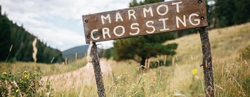
Marmot Passage Trail
Permitted use: hike, bike, horseback
Total distance: 2.5 miles
Degree of difficulty: moderate
Elevation range: 8,800-9,220 feet
ADA accessible: no
Unique features: views of surrounding mountain ranges and Lions Head, wildlife viewing
Old Mill Trail
Permitted use: hike only
Total distance: 0.9 miles
Degree of difficulty: moderate
Elevation range: 8,500-9,100 feet
ADA accessible: No
Unique features: historic buildings, small stream
Scout Line Trail
Permitted use: hike only
Total distance: 1.5 miles
Degree of difficulty: difficult
Elevation range: 8,520-9,240 feet
ADA accessible: No
Unique features: great scenic views
Staunton Ranch Trail
Permitted use: hike, bike, horseback
Total distance: 3.1 miles
Degree of difficulty: moderate
Elevation range: 8,120-9,060 feet
ADA accessible: No
Unique features: historic buildings, wildlife and wildflower viewing, great views of the park


